July 27, 2015 | CREBNow
Planners go big
Big data key to improving traffic flow, say officialsBig data is becoming a big deal when it comes to city traffic planning.
In April, Toronto Mayor John Tory announced a specialized team to analyze the movement of traffic to help alleviate his city's ongoing gridlock problem.
Traffic planners will look at data collected from GPS signatures pulled from smartphones and other electronic devices to figure out how traffic moves around Toronto.
Other cities such as Amsterdam, Stockholm and Barcelona are already using big data to help ease congestion on their streets, and Tory said Toronto is eager to join the ranks of what he calls 'Smart' cities.
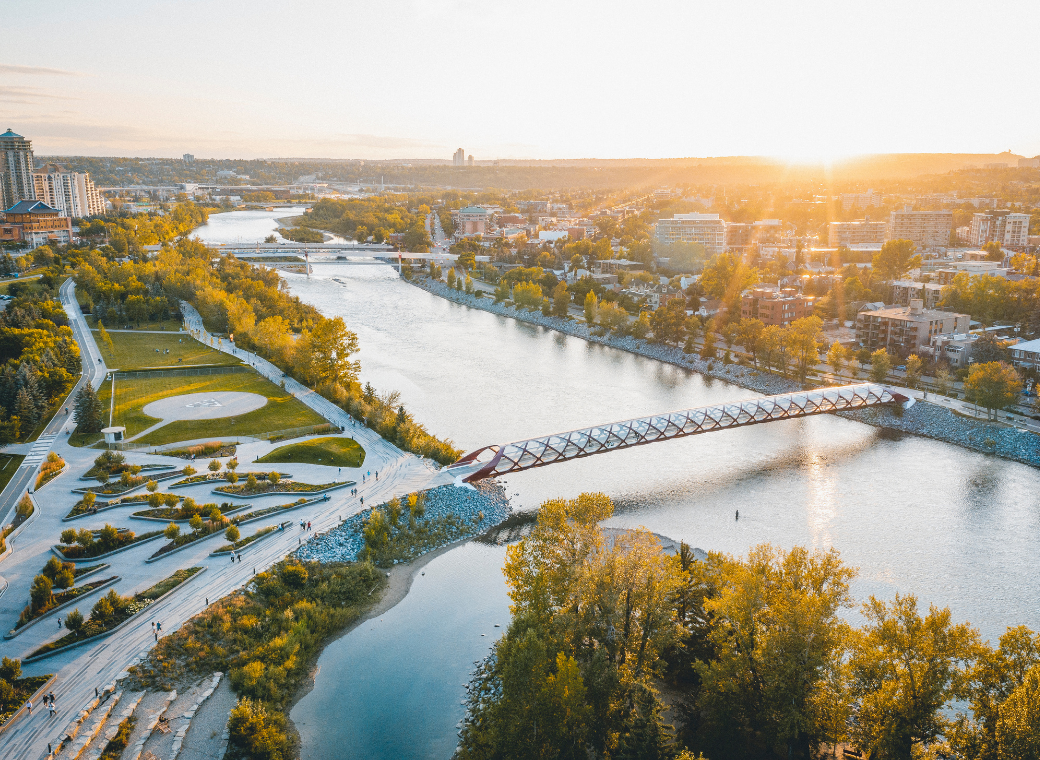
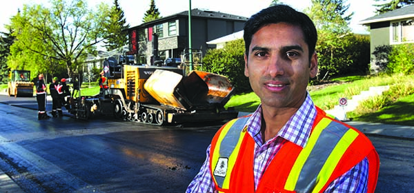
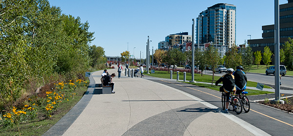
Out West, Calgary has been using data to analyze traffic habits for the past four years.
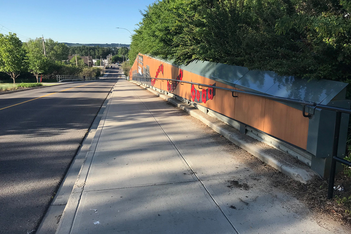
In 2012, the City installed 15 sensors along Deerfoot Trail, which pick up signals from Bluetooth-enabled vehicles and smartphones, recording the devices' 12-character Media Access Control (MAC) identifiers. When a vehicle passes another detector down the road, the MAC number is recorded again.
There are also sensors located on busy arteries such as Crowchild Trail and Glenmore Trail.
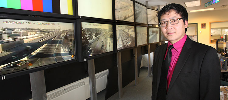
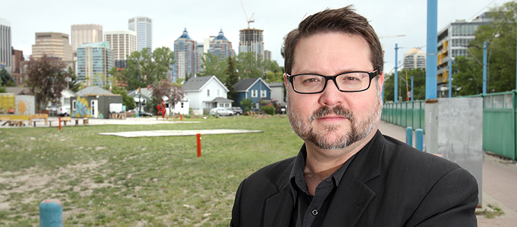
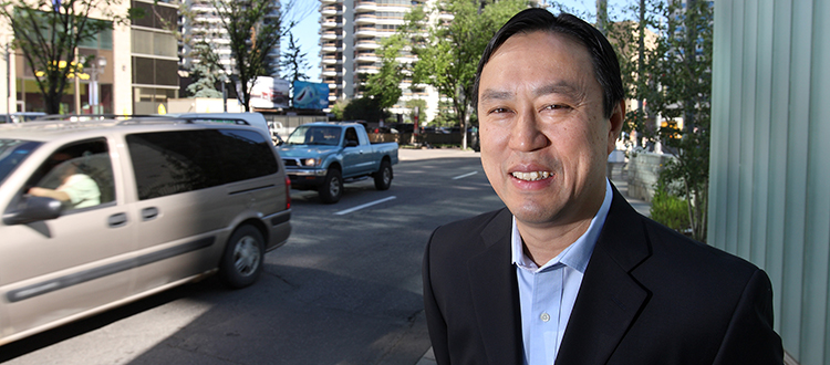
"We can take that stored data and calculate all kinds of important metrics like travel time, average travel time and travel time reliability," said City of Calgary manager of transportation data Ekke Kok.
For now, the information gathered from these sensors is used to update a number of real-time message boards across the city (seven in total on Deerfoot Trail, from Airport Trail in the north to Anderson Road in the south), as well as online at Calgary.ca.
But Kok would like to ultimately use this data to better measure travel time reliability.
"You build rush-hour congestion into your day, but travel-time reliability you can't do anything about it," he says.
"One day it takes you 60 minutes to get to work, the next day it takes you 35 minutes. Say you have a really bad boss, so you tell yourself, 'I better give myself 60 minutes so I can get there on time.
And then you're early so you end up wasting your time.
"Travel-time reliability is a bit more of an important metric and we're measuring a bit more of that with those Bluetooth detectors."
By monitoring traffic flow, Calgary's traffic planners are able determine things such as where to put new traffic lights, timing of traffic signals, road width and turning lanes, which, in turn, can result in a more consistent commute for drivers and transit users.
It's a great idea but not without its challenges, the biggest one being the sheer volume of data being collected.
"There is way too much data," said Kok. "We're absolutely buried ... It's like drinking from a firehose. We just can't manage it all."
In the meantime, Kok has been in touch with GPS and data companies such as Tom Tom, Cellint and INRIX to find out how they can analyze the information to help the City make Calgarians' commutes easier.
"There's a huge pool of information available and the reason we're looking at external vendors is to distill that huge volume of information into something useful," said Kok.
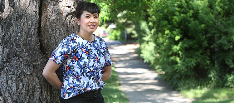
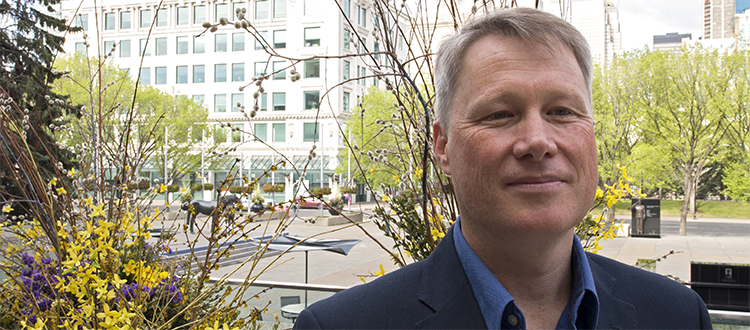
Though metropolitan traffic planners see the benefits of big data analysis, Francisco Alaniz Uribe of the University of Calgary says it's not the main solution to traffic congestion.
"It's one of an array of solutions," said Alaniz, an assistant professor in the U of C's Faculty of Environmental Design
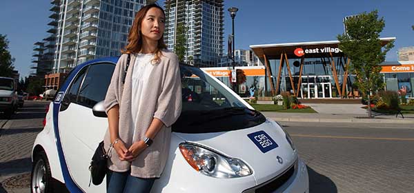
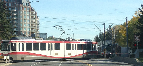
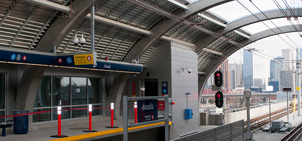
"In the sense of traffic, the key is to provide better transit. It's as simple as that.
If you have better transit, people are going to be more comfortable using it and it will become a better choice. And then you'll just use your car for certain errands not for the daily commute, which is what makes traffic difficult."
Tagged: Calgary Real Estate News | traffic | Traffic Times | Transportation | urban planning


Related Articles
