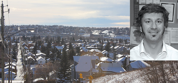
Aug. 02, 2012 | Cody Stuart
Pilot Program for Pathway Safety
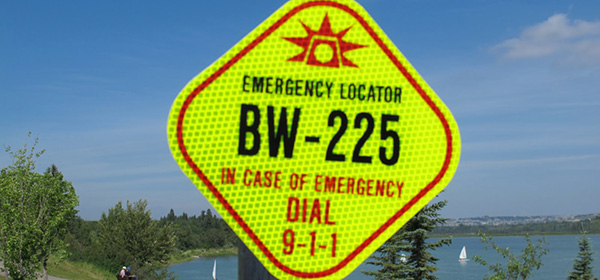
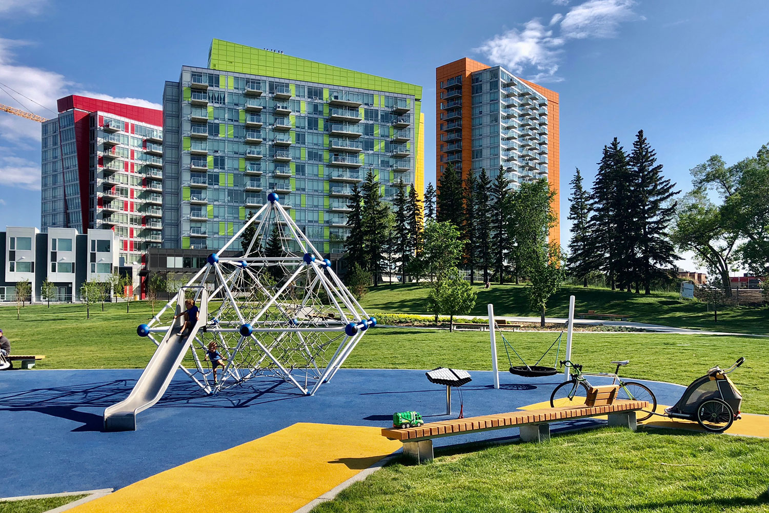
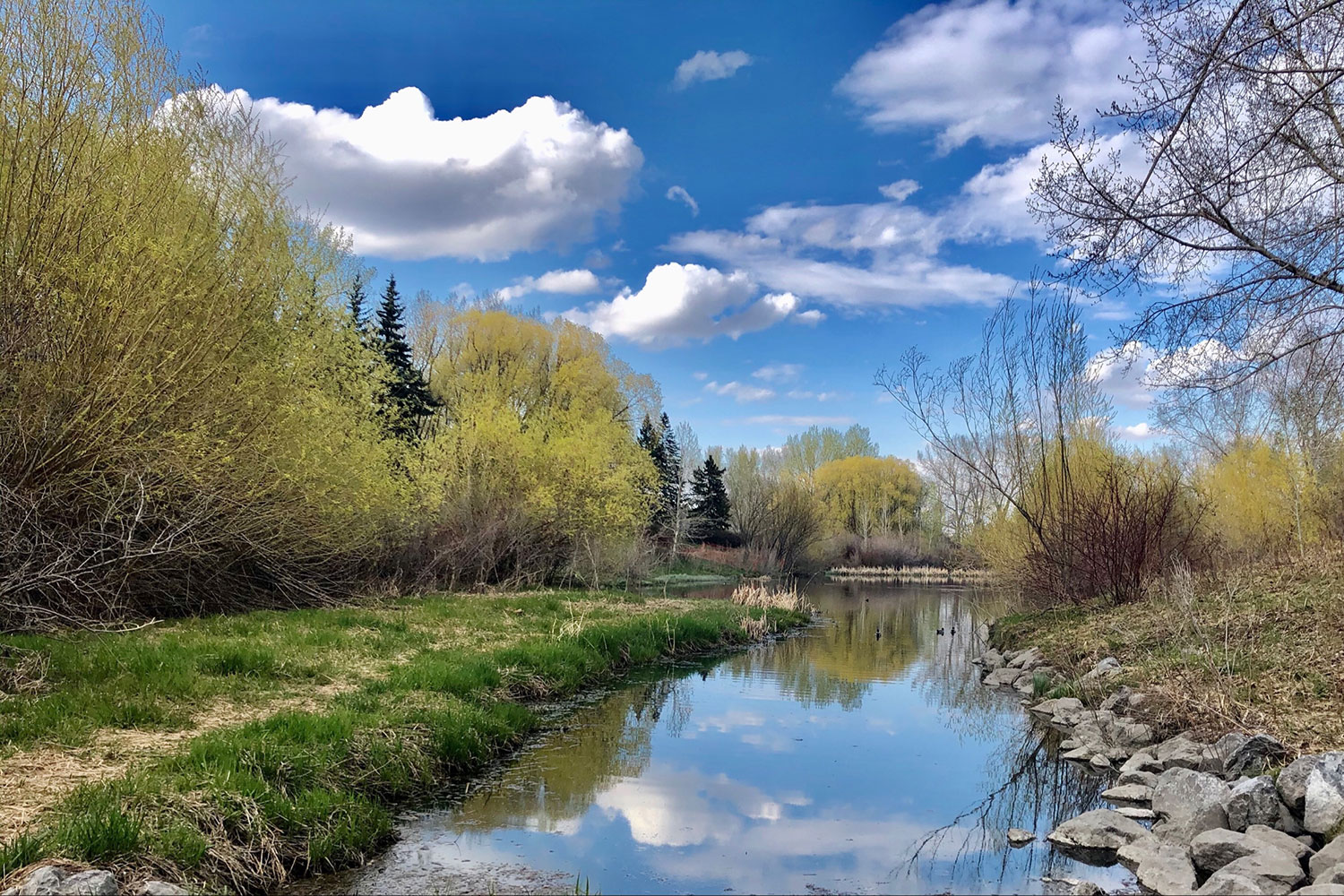
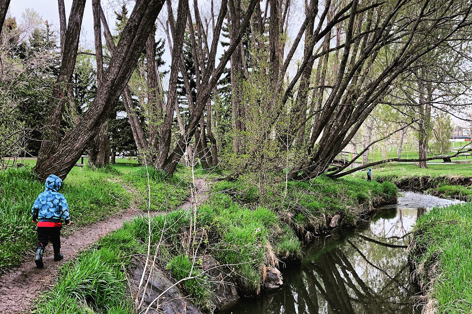
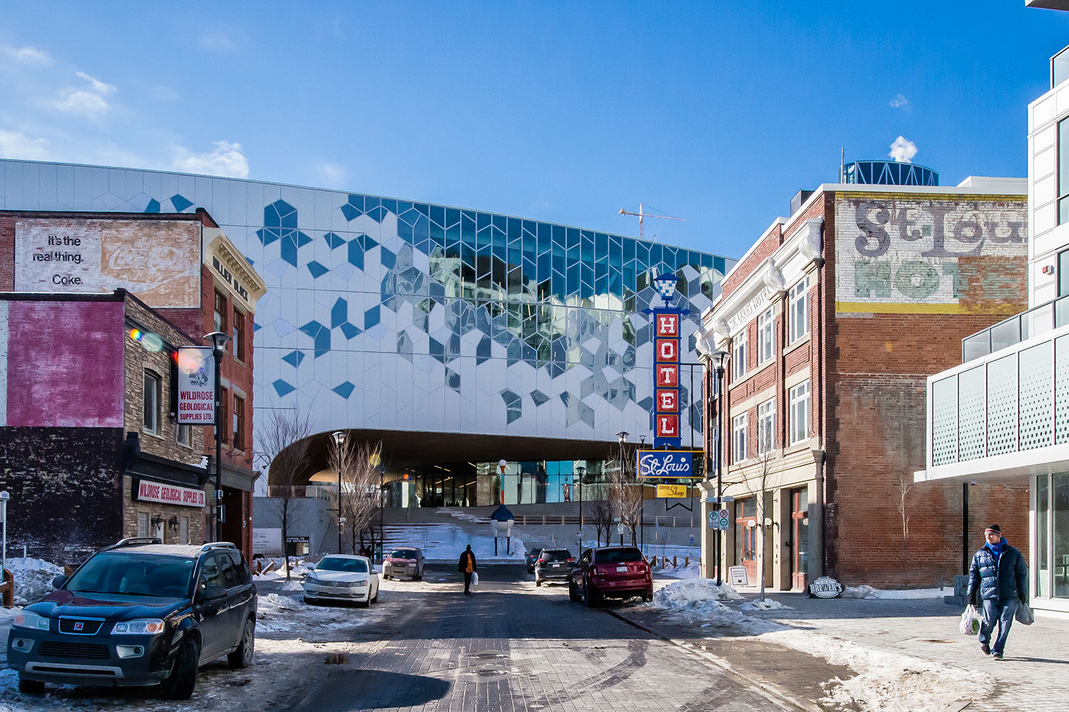
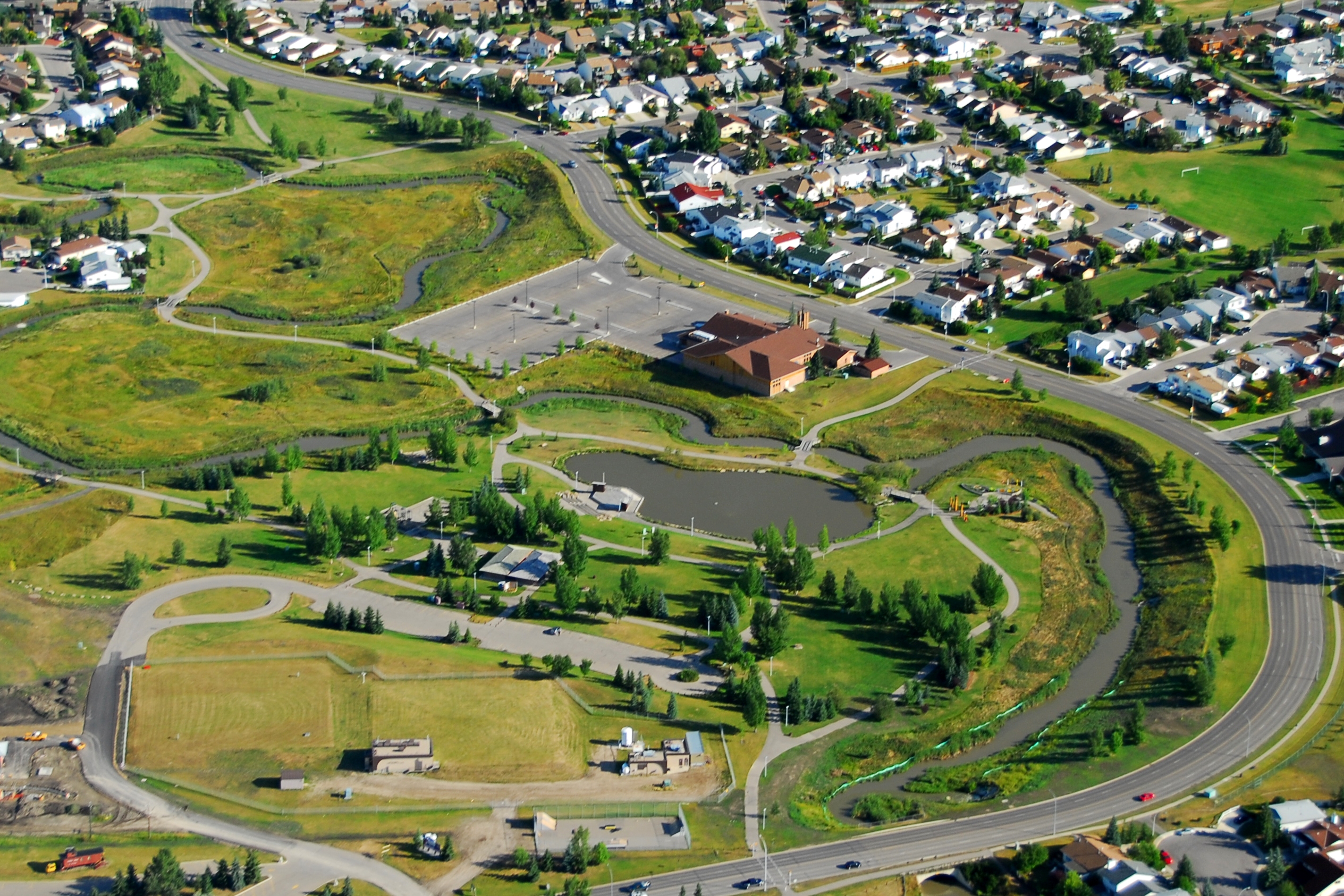
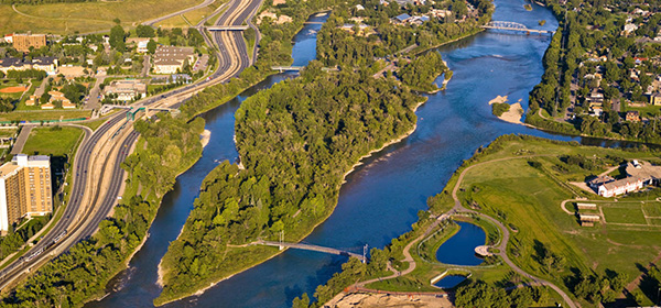
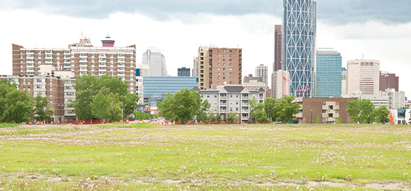
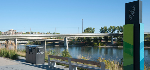
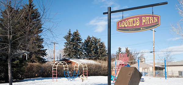
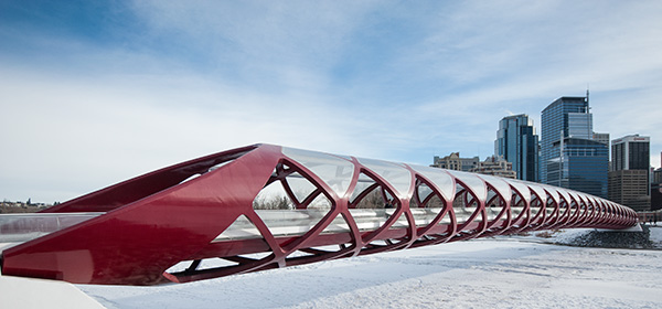
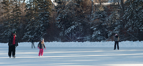
Calgarians will now have the ability to keep better track of their journey along some of the City's pathways in the instance they should need to call for emergency assistance.Public Safety Communications has announced the launch of a pilot program which places pathway markers along Centre City/Bow River, the Elbow River pathways and in Fish Creek Park. The markers, placed approximately one kilometre apart will assist pathway users in providing 9-1-1 emergency communications officers with location information so emergency responders can be dispatched to a more precise location.
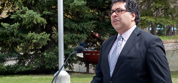
"Our goal is to help provide assistance to citizens as efficiently and seamlessly as possible," said Nina Vaughan, commander of Public Safety Communications. "Since Calgary has more than 700 kilometers of pathways it's not always easy to articulate where you are on our extensive pathway network when you need help."
This program, the first of its kind in Canada is being piloted along three Calgary pathways as they have been identified as higher usage areas. Signage installation signifying the implementation of the program was completed this month.
Pathway users are encouraged take note of the unique location code (combination of two letters and four numbers) on the first marker they see and then track their progress by the last two numbers of each sign they pass. If an emergency occurs, they will then have the information Public Safety Communications needs to get help to them in a timely manner.
This pilot program will be monitored by Public Safety Communications and the results will be reported to the Standing Policy Committee of Community Protective Services in Spring of 2013.
Do you use Calgary pathways often? Do you feel that safety goes up with this program?
Tagged: Calgary Community | Calgary Real Estate | Calgary Real Estate News | City of Calgary | Parks


Related Articles
